What we do Underwater

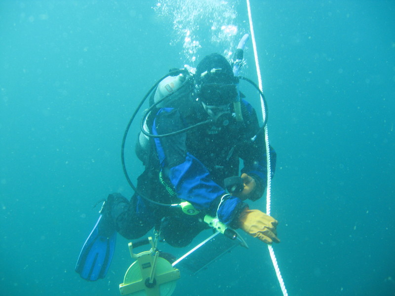
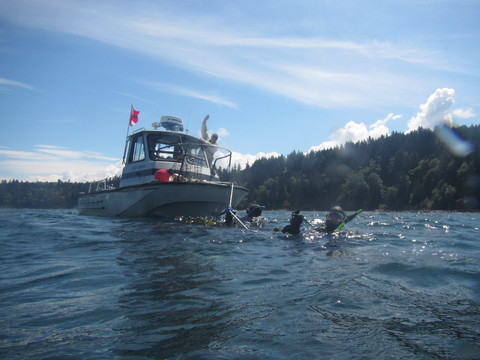
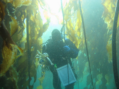
Scientists began collecting data to monitor the changing conditions at the Elwha River delta well before the removal of the two dams even started. Study sites called “transects” are monitored at least once a year by teams of divers. A transect consists of a permanent center post, as well as end markers spaced 50 meters apart and positioned to be roughly parallel to shore. Once a transect site is located from the surface using GPS coordinates, the research boat is anchored close by and divers descend down the anchor line. The divers count algae, rocks and sand, fish, invertebrates and other sea creatures as they swim along the transect.
The divers swim back and forth along the transect four times as they collect data. On the first pass along the transect, one diver swims slightly ahead of the other. The first diver records any fish within two meters of the transect. The second diver follows, rolling out a tape measure to establish the transect between the permanent start and end posts. On the second pass, both divers swim back along the transect. One diver counts and identifies the invertebrates, while the other does the same for the algae. On the third pass, the divers examine the seafloor every 0.5 meter, and the divers record the type of substrate directly underneath the transect tape as well as anything attached to the substrate. The divers swim back down the transect for the final time. One diver swims ahead taking a video along the transect and the other diver follows reeling in the tape measure. The raw data are then used to estimate the density of organisms at that site, as well as the number and type of species encountered, and the nature of the seafloor.
Check out the Dive Map to see the videos taken along the transects.


